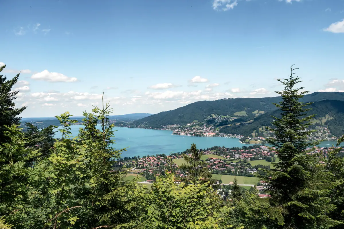
Hiking in Tegernsee: The essentials at a glance.
Trail network: There are over 300 kilometres of marked walking trails around Lake Tegernsee, ranging from easy nature trails to challenging mountain hikes. bergfex
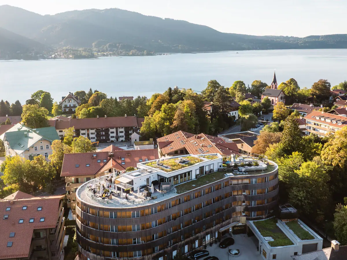
No car needed: less than an hour’s journey from Munich Central Station to Lake Tegernsee. A-ROSA: just under 300 metres from the station. Walking tours start in the village.
Suitable for all fitness levels: flat paths along the riverbanks, half-day hikes to alpine pastures and peaks up to a good 1,700 metres.
All year round: Many trails can be walked even in winter
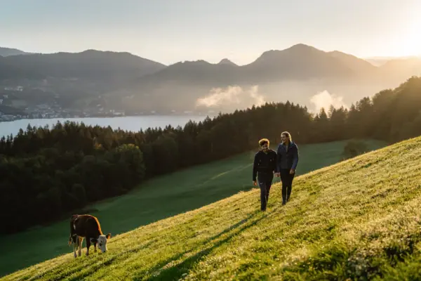
Tegernsee High-Altitude Trail
From Gmund back to Tegernsee: The high-altitude trail runs halfway up the eastern shore, through woodland and across open meadows, offering unobstructed views across the lake. Take the train one stop to Gmund and walk back. The trail ends in the town of Tegernsee, just a few steps from the hotel.
- Difficulty: easy. The trail is gentle, with an elevation gain of only around 100 metres, and is signposted as trail no. 510.
- Distance & time: approx. 6 to 7.5 km, around 2 hours
- Start/Finish: Gmund railway station to Tegernsee; stop for refreshments at the Herzogliches Bräustüberl
- Extension: The entire high-altitude trail continues beyond Tegernsee to Rottach-Egern.
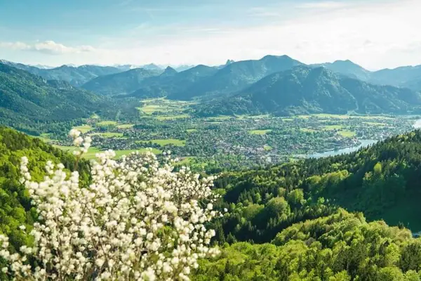
Riederstein via Galaun
The chapel above the lake: You can already see it from the valley: the little chapel on the Riederstein rock. The path leads through the woods up to the Galaun clearing and from there up steps to the viewpoint.
- Difficulty: easy. Only the final section to the summit is steep, but there are steps to help.
- Key details: approx. 6 km, around 450 metres of elevation gain, summit at 1,207 m, total time approx. 2.5 hours
- Refreshments: Riedersteinhaus at Galaun at 1,060 m
- All year round: The walk is technically easy and can be done at any time of year.
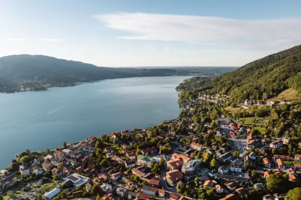
Neureuth
Tegernsee’s local mountain: the Neureuth is the classic hike par excellence. The ascent begins practically on the hotel’s doorstep. At the top, a sun terrace awaits, offering views of the lake and the Wallberg opposite.
- Difficulty: easy, narrow and partly root-covered forest paths
- Ascent: from Tegernsee railway station, approx. 1.5 hours and a climb of around 500 metres
- Destination: Berggasthof Neureuth at 1,264 m
- Good to know: The climb is well worth it in both summer and winter.
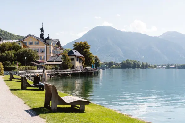
Tegernsee Circular Walk
All the way round the lake: flat, varied and always alongside the water. The circular route links the villages around the lake.
- Difficulty: easy, with almost no inclines
- Length: approx. 20 km, a day trip with plenty of places to stop for refreshments
- Our tip: If you only want to walk part of the route, combine it with a boat trip. The jetty is just a few minutes’ walk from the A-ROSA Tegernsee.
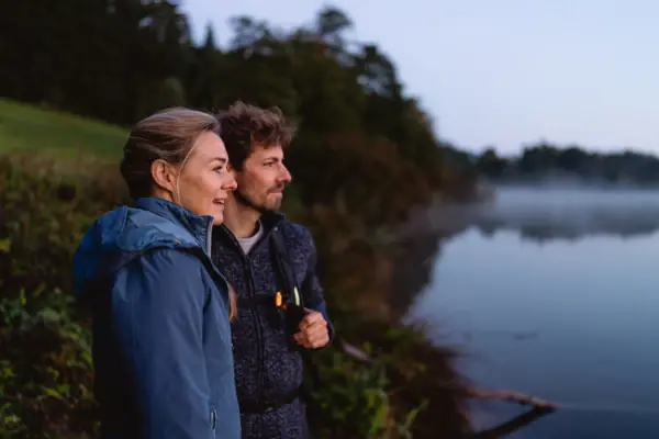
Prinzenweg
Walk from Tegernsee to Schliersee: From lake to lake, along one of the region’s most beautiful routes. The trail starts right in the town of Tegernsee, leads up to Neureuth and then continues on almost flat ground to the Gindelalm. The return journey is a comfortable one by train.
- Difficulty: easy to moderate
- Key details: approx. 15 km, around 4 hours, approx. 600 metres of ascent
- Route: Tegernsee railway station – Berggasthof Neureuth – Gindelalm – descent towards Schliersee
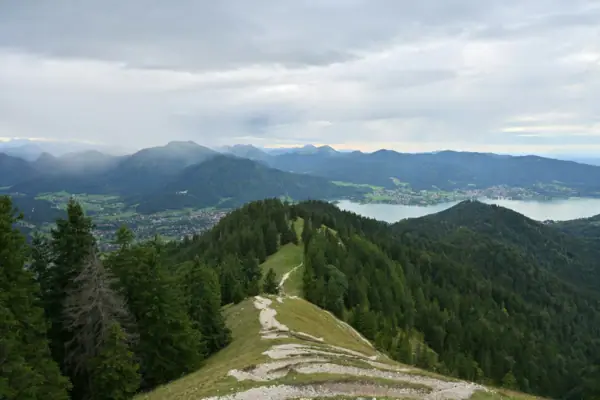
Tree pruning
Circular walk via Galaun and Riederstein: For anyone who finds the Riederstein not high enough: behind the chapel, the route continues to the summit of the Baumgartenschneid and back to Tegernsee as a circular walk.
- Difficulty: moderate
- Key details: approx. 12 km, around 4 to 4.5 hours, just under 700 metres of elevation gain, summit at approx. 1,449 m
- Start: Tegernsee railway station, via Galaun and Riederstein
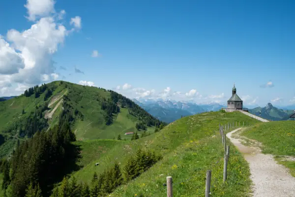
Wallberg
The scenic hill on the southern shore: the Wallberg towers over Rottach-Egern and can be seen from almost anywhere around the lake. You choose: walk the whole way, just up or just down – the Wallbergbahn takes care of the rest.
- Difficulty: moderately difficult mountain hike
- Key details: Summit at 1,722 m, a climb of around 930 metres from the valley station. The mountain station is reached after about 2¼ hours; the Wallbergkirchl is on the way.
- Getting there: from Tegernsee railway station, take the bus to the ‘Wallbergbahn’ stop in Rottach-Egern
- Refreshments: Panorama restaurant at the mountain station at 1,620 m
- Note: Please check the current operating times of the Wallbergbahn in advance.
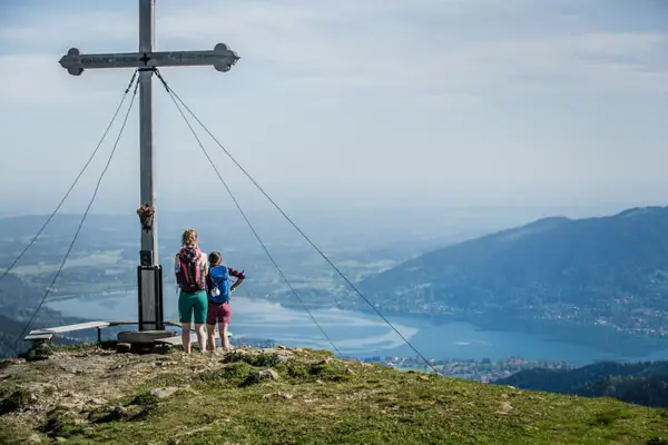
Hirschberg
Panoramic summit in the Kreuth Valley: a summit that offers far more in the way of views than its height would suggest: across Lake Tegernsee to the Zugspitze and into the Karwendel.
- Difficulty: moderate. Sure-footedness required; a head for heights is needed in parts near the summit.
- Key details: 1,670 m, around 900 metres of elevation gain, ascent approx. 2.5 hours; as a circular route approx. 13 km and 4.5 hours
- How to get there: from Tegernsee railway station, take the bus to Kreuth-Scharling
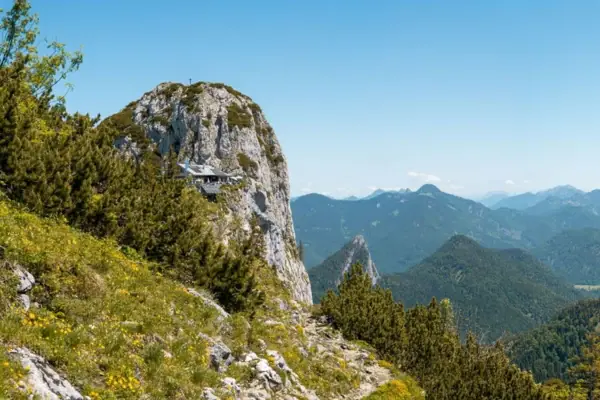
For experienced walkers: Tegernseer Hütte
Perched high up in a narrow rocky saddle is one of the most spectacular huts in the Bavarian Pre-Alps, offering sweeping views across the mountains.
- Difficulty: moderate. Just before the hut, there are two sections secured by wire ropes; sure-footedness is required.
- Key details: Hut at 1,650 m, ascent approx. 2 to 2.5 hours, approx. 800 to 900 metres of elevation gain
- Start: Hiking car park at Bayerwald between Kreuth and Achen Pass
- Easier alternative: from the Winterstube car park via the Buchsteinhütte, approx. 3 hours
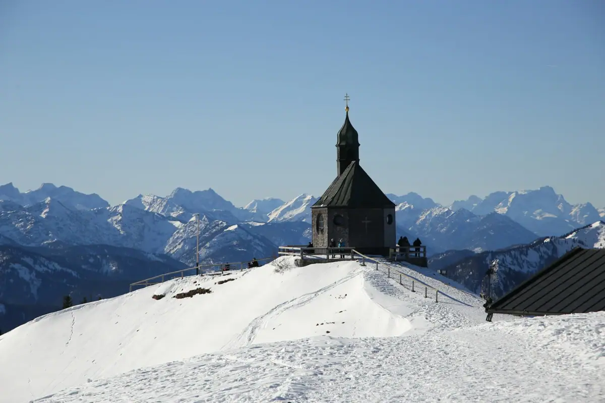
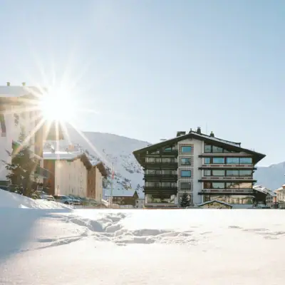
Winter walking at Lake Tegernsee.
When snow covers the alpine pastures and the lake falls still, a very special hiking season begins.
Lakeside promenades: The lakeside paths in Tegernsee, Rottach-Egern and Bad Wiessee are usually cleared of snow in winter.
Neureuth & Riederstein: Both of these classic destinations are popular even in winter.
Wallberg in winter: A moderate winter walk leads to the summit via the Winterweg and the Wallbergmoosalm.
Afterwards: Warm up in the indoor pool and sauna at SPA-ROSA.
Please note: In snowy and icy conditions, footwear with good grip and, if necessary, crampons are essential. Please check locally for the latest trail and weather conditions.
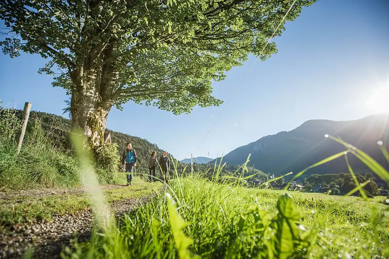
Hiking around Lake Tegernsee with children and the dog.
Short walks, a place to stop for refreshments within easy reach and plenty of space to run about: there are suitable walks around Lake Tegernsee for young walkers and four-legged friends too.
The Tegernsee High Trail: an easy family walk with a stroll along the lakeshore and views of the lake
Riederstein: a short walk, with a stop at Galaun. Please keep an eye on the little ones on the steep steps leading up to the chapel.
Neureuth with a pushchair: A 2.5 km-long forest track leads uphill from the car park. It is very steep in places and is used by delivery vehicles.
With your dog: Your four-legged friend will be happy to join you on many of the trails. You can find tips on places to swim, walking routes and your stay under ‘Tegernsee with your dog’.
Image: © DER TEGERNSEE, Hansi Heckmair